The LOSG
Working on Solutions for our Community
We support well-planned development (“smart growth”) that has a verifiable adequate water supply to sustainably support that development indefinitely. For the Basin to provide a sustainable water supply for additional development, the Basin must first be shown to be a sustainable water supply for current development and population. This requires sufficient reliable well-monitoring data to conclusively show that water levels in each of the main aquifers (Zones C, D, & E) have been raised and can be maintained, long-term to reverse seawater intrusion fronts to prescribed locations offshore of the community through droughts and climate change. The levels must also provide groundwater flows to habitat along the National Estuary and area creeks.
Protecting against droughts and climate change requires raising water levels in each aquifer to above the levels needed to reverse seawater intrusion with a margin of safety (water in storage) that will support a given population during long-term through droughts and other unforeseen events, such as worse-than-expected impacts from climate change, earthquakes, and/or inaccuracies in modeling that result in inadequate mitigation programs.
If sufficient reliable data shows long-term sustainable conditions for the present development have been exceeded, some level of added development should be sustainable.
What is our position on local development?
Why are we concerned about the basin?
Basin Basics
Simple answers to Frequently Asked Questions.
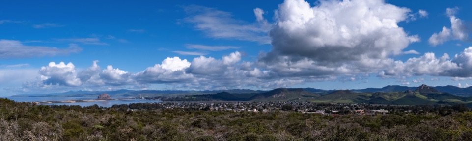
As the sole water source of the Los Osos Community and area farms, the Los Osos Groundwater Basin is essential to the social and economic health and sustainability of the community. It is also essential to the health and sustainability of groundwater-dependent environmentally sensitive habitat along Morro Bay National Estuary and along Willow and Los Osos Creeks, which border the community to the east.
What are our goals for the basin?
What it will take to stop seawater intrusion and restore the Basin?
What is our position on monitoring vs. modeling
Our general sustainability goal is for the Basin to be restored to a healthy and resilient water source with no seawater intrusion under the community inland of the estuary and freshwater levels high-enough above mean sea level in all its aquifers and parts to sustain the community, area farms, and environmentally sensitive habitat indefinitely, including through long-term droughts and the impacts of climate change (sea level rise, less rainfall, and higher temperatures).
The community has already reduced water use through conservation considerably allowing reduced pumping in purveyor Zone D wells and the one Zone D-E well inland of the estuary. However, seawater intrusion into Zone E continues, and seawater intrusion into Zone D, which showed signs of improving in 2017 and 2018, showed signs of worsening in 2019.
The Basin Plan and Annual Monitoring Reports propose additional conservation and shifts in pumping to the upper aquifer and inland to further reduce pumping from wells nearest the estuary (about one to two miles inland). However, it remains to be seen whether this will be enough to stop and reverse seawater intrusion.
Modeling is a predictive tool with significant levels or inherent uncertainty. As a result, modeling should be used only to point the way toward mitigation programs and other Basin management actions that could potentially protect and restore the Basin. Sustainable Ground Water Management Action (SGMA) and Best Management Practices (BMCs) do not recognize modeling as a basis for determining a basin's sustainability. Reliable well-monitoring data over time must be used to determine whether planning actions are successful and the Basin provides an adequate long-term water supply for current and any sustainable future population.